Treeline shifts in a Changing Climate

The above views are of Holy Cross Mountain, in central Colorado, in four different years over the past century and a half. With a large group of collaborators--photographers, geographers, and remote-sensing specialists--I am working to understand the factors that drive treeline shifts, as well as the rates at which those shifts are taking place. This work has included rephotography studies in Mexico, on its high volcanoes, work across the Rocky Mountains, and on high mountains worldwide via remote sensing.
Mexican high volcano treelines
Mexico holds 14 high-elevation mountains that extend above the upper elevational limit of forest. Here is a view of the upper elevations of Sierra Negra, seen from the upper elevations of Pico de Orizaba. A recent analysis, developed by Peterson and colleagues, has shown that 13 of the 14 volcanoes are showing treeline advance toward higher elevations. On Sierra Negra, combined analysis of repeat photographs and remote sensing data showed that the rate of advance has increased radically in recent decades.

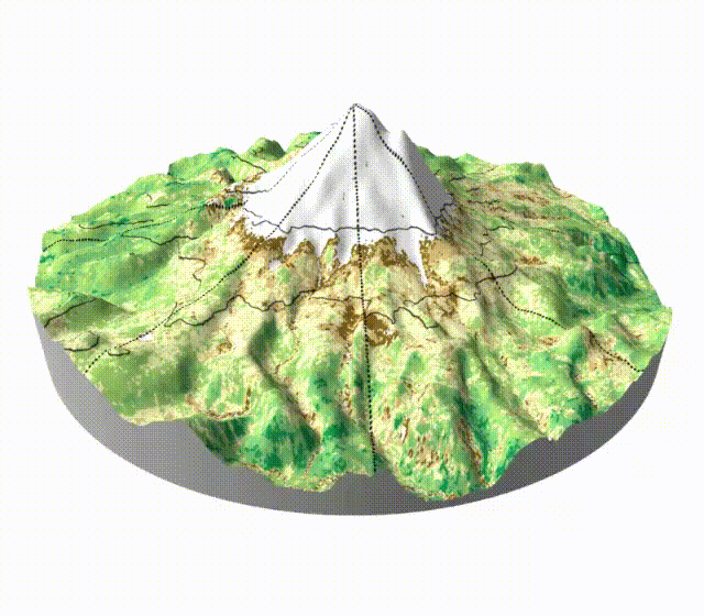
Global High Montane Treelines
High mountains worldwide are experiencing dramatic shifts in their vegetation at high elevations. Peterson lab group members are working on this question from a variety of perspectives (repeat photography, remote sensing, etc.), including Daniel Jiménez-García, Juan Maita, and others. A particular emphasis in the lab group is on integrating remote-sensing analyses with other, deeper-time information sources. Here, as an illustration, is an animation of vegetation dynamics on Volcán Cayambe, Ecuador, between the 1980s and present.